

XAG M500 Drone (XMission Series) Overview
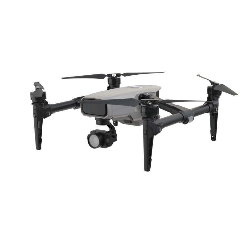
The XAG M500 drone from the XAG brand is a professional UAV for mapping, surveying, inspections, and agricultural applications. The M500 model of the XMission series features updated flight control, power, and payload systems, making it a reliable tool for complex field operations.
The platform houses a 6-core high-performance processor and a 5T neural processing unit, ensuring fast and accurate image processing: image processing performance is almost 20 times higher compared to previous generations. This opens up new possibilities for precise mapping, 3D model creation, and operational data analysis.
Areas of Application
Agriculture. The XAG M500 allows for field measurements, mapping agricultural land boundaries, and determining crop locations. One XAG M500 drone can prepare approximately 2500 hectares for sprayer drone operations per day. The ability to change lenses and install multispectral cameras makes this platform a versatile tool for assessing soil productivity and analyzing crops.
Surveying. Using the XAG M500, detailed mapping of infrastructure objects can be performed: the obtained images and data serve as a solid foundation for reconstruction and planning projects.
Mining Industry. The drone is suitable for creating high-precision 3D models of quarries and stockpiles, monitoring extraction stages, and calculating rock volumes.
Energy Sector. The XAG M500 is effective for inspecting power lines and main energy routes, allowing for prompt detection of hazardous areas and generation of detailed reports.
Technical Specifications
| Parameter | Value |
|---|---|
| Maximum flight time | 35 min. |
| Sensor | 1-inch CMOS |
| Effective pixels | 20 megapixels |
| Lens | focal length f=10.6 mm (28.9 mm equivalent) |
| ISO range | 100 - 3200 |
| Mechanical shutter | 1/30 - 1/2000 s |
| Image size | 5472×3648 (3:2), 4864×3648 (4:3) |
| Video resolution | 4K / 1080P / 720P |
| Video transmission resolution | 720P |
| Encoding format | H.264 |
| Video frame rate | 30 frames per second |
| Image format | JPEG |
| Image quality | HD |
| Supported file system | FAT32 |
| Built-in storage | 32G / 64G / 128G / 512G |
| Supported memory card | TF card |
| Exposure compensation | ±2.0 |
This description includes all key technical parameters and features provided by the manufacturer. Brand: XAG. Product category: Drones, EW, Drone Detectors, Components > Drones and Quadcopters > Agricultural Drones. The XAG M500 drone is ideal for professional users who require high imaging accuracy, fast data processing, and versatile payload configurations. Thanks to its powerful computing platform and support for various imaging modules, the M500 is effectively used in agronomy, surveying, mining, and energy, providing quality results and saving time during field operations.
Advantages: fast neural image processing, ability to use multispectral cameras, long flight time for large areas, precise mapping, and 3D model creation.
For ordering or additional information, please contact official XAG brand representatives or the seller on the product page.
Other products in this category here Agricultural Drones
There are no reviews for this product, be the first to leave your review.
No questions about this product, be the first and ask your question.
")


